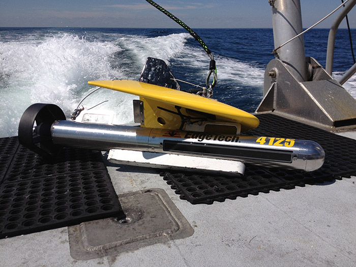
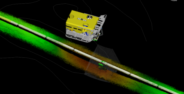
Bathymetric & Side-Scan Sonar Survey
Detailed seabed topography and feature mapping using high-resolution sonar systems to support offshore development and navigation.
Ezijes delivers comprehensive hydrographic, geophysical, and geotechnical surveys using state-of-the-art sensors and AUVs to support offshore planning, development, and compliance. We generate high-resolution seabed and sub-seabed data to enable safe infrastructure placement and informed engineering designs.
Detailed seabed topography and feature mapping using high-resolution sonar systems to support offshore development and navigation.
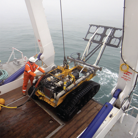
Detection of buried objects and sediment layers beneath the seafloor to inform geotechnical and pipeline route studies.
Accurate mapping and assessment of seabed routes for safe and efficient pipeline and cable installation.
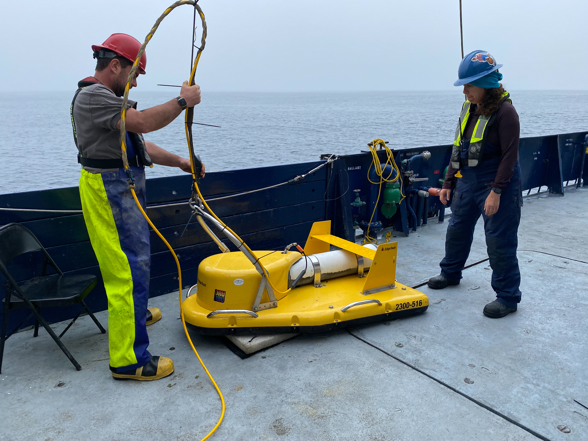
Collection of environmental data and identification of unexploded ordnance (UXO) to meet regulatory and operational standards.
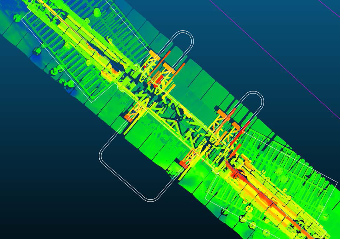
Advanced data visualization and reporting services using GIS and CAD systems for clear interpretation and project integration.